


The agency published a map on its X platform account showing the delimitation of maritime zones related to the strategic strait, one of the world’s main routes for oil and gas transport.
According to the Iranian administration, the controlled zone extends eastward from Jabal Mubarak, in Iranian territory, to the southern line of Fujairah, in the United Arab Emirates, while to the west it encompasses the line connecting the Iranian island of Qeshm to Umm Al-Quwain, also in the UAE.
The delimitation coincides with a map previously released on May 4 by the Navy of the Islamic Revolutionary Guard Corps, which identified the areas considered under Iranian supervision in the Strait of Hormuz.
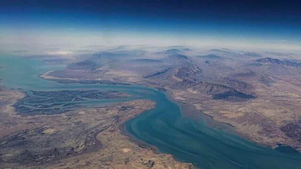
The Strait of Hormuz is one of the world’s most strategic maritime routes, connecting the Persian Gulf with the Arabian Sea, through which a significant portion of international energy trade passes.
abo/arm/mem/fm